Ethiopian Highlands Simien Mountains & Ras Dashen Trek
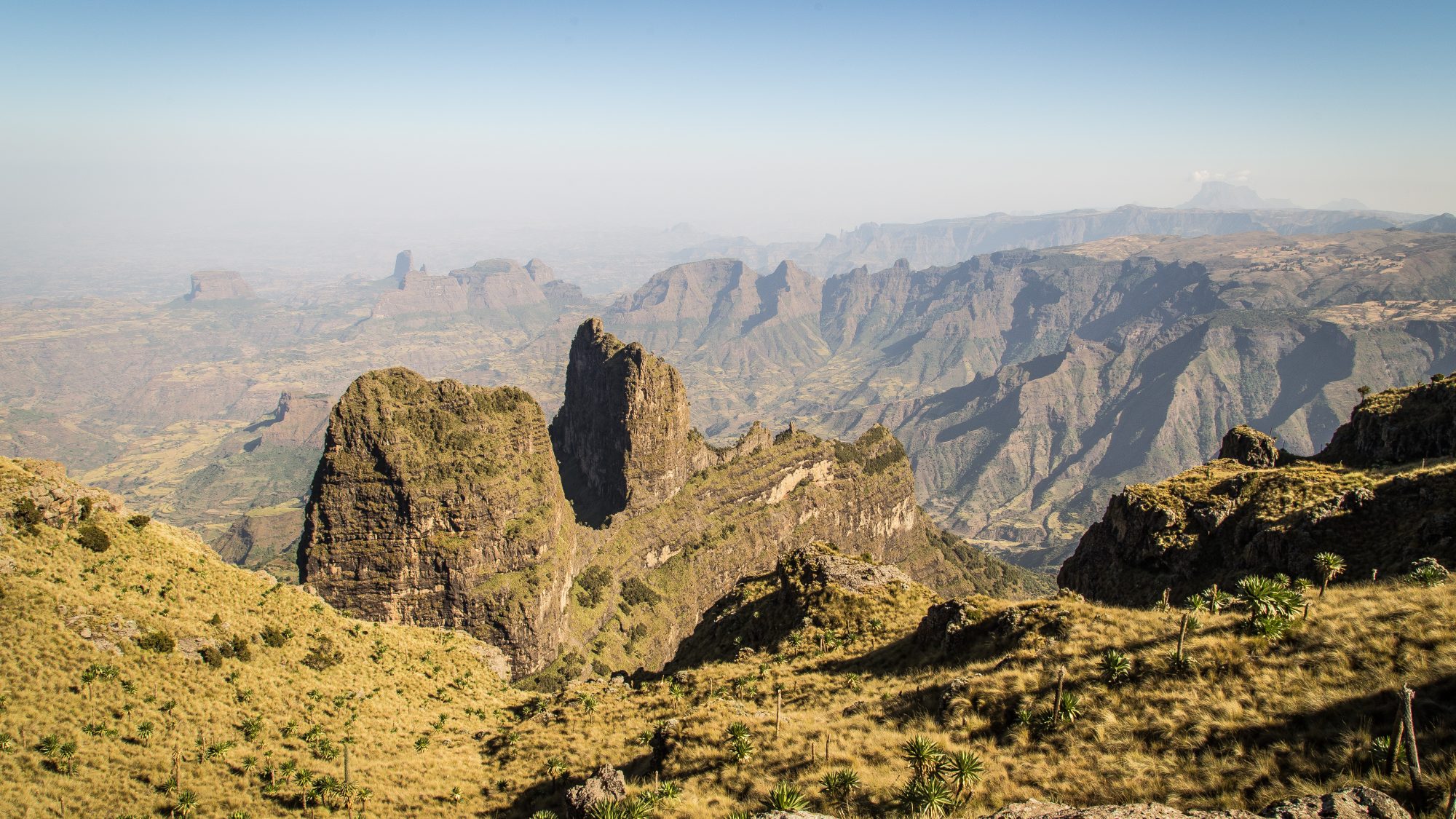
A high-altitude traverse of the Simien Mountains escarpment, a UNESCO World Heritage massif of Oligocene volcanic origin eroded into jagged pinnacles and sheer 1,000m cliffs, culminating in an optional pre-dawn push to Ras Dashen, the highest point in Ethiopia.
- Region
- Simien Mountains National Park, Amhara Region
- Country
- Ethiopia
- Difficulty
- Strenuous
- Terrain
- Volcanic Plateau
- Distance
- 86 km
- Elevation gain
- +4900 m
- Max altitude
- 4550 m
- Duration
- 7 - 9 Days
- Best months
- Oct, Nov, Dec, Jan, Feb, Mar
- Permit
- Ethiopian Wildlife Conservation Authority (EWCA) park entry permit plus mandatory local scout and guide
The Simien plateau drops away in vertigo-inducing escarpment walls that plunge a thousand meters to the lowlands below, and the trail threads their rim for days, past troops of hundreds of Gelada monkeys grazing the short afro-alpine turf within arm’s reach. Nights at Chennek and above are bitterly cold despite the equatorial latitude, and the final push to the 4,550m summit of Ras Dashen is a long, thin-aired scramble over boulder fields rewarded with a horizon that stretches into Eritrea.
Cultural notes: The Simien highlands have been farmed and grazed by Amhara highland communities for centuries, and trekking parties are required to travel with an armed park scout, a tradition rooted in both wildlife protection and long-standing local security practice. Guide and scout fees are a primary income source for surrounding villages, and hiring locally is expected rather than optional.
Wildlife notes: The Simien Mountains are the single best place on earth to see the Gelada, a grass-grazing primate found nowhere else, in troops that can exceed 400 individuals. The park also protects the endangered Walia ibex, found only on the escarpment cliff faces, and is one of the last strongholds of the Ethiopian wolf.
Key hazards
- Altitude sickness on the final approach to Ras Dashen (4,550m)
- Unprotected escarpment cliff edges with vertical drops exceeding 1,000m
- Sudden hail and thunderstorms on exposed high-plateau sections
- Large temperature swing between warm highland days and near-freezing nights above 3,600m
Essential gear
- Stormvane 3-season trekking boots with ankle support for uneven volcanic scree
- Duskdown -5°C sleeping bag for high-camp nights at Chennek and above
- Halcyon Ridge lightweight 3-season tent (camping is restricted to designated sites)
- Trueflame squeeze-type water filter for stream refills between camps
- Northlatch offline GPS or mapping app loaded with the park trail network
- Wide-brim sun hat and high-SPF sunscreen for high-UV equatorial-altitude exposure
- Insulated jacket and gloves for the pre-dawn Ras Dashen summit push
Waypoint-by-waypoint
| # | Waypoint | Dist. | Elev. | Notes |
|---|---|---|---|---|
| 1 | Debark Park Headquarters | 0 km | 2550 m | Scout and guide registration, permit processing, final resupply. |
| 2 | Sankaber Camp (camp) | 14 km | 3250 m | First camp directly on the escarpment edge with sweeping views into the lowlands. |
| 3 | Geech Camp (camp) | 28 km | 3600 m | Village and camp beside dense Gelada troops; short side trip to Jinbar Falls. |
| 4 | Imet Gogo Viewpoint | 35 km | 3926 m | The finest 360-degree panorama on the route, considered the visual highlight of the trek. |
| 5 | Chennek Camp (camp) | 45 km | 3620 m | Staging camp for the Ras Dashen summit extension; good chance of Walia ibex on nearby cliffs. |
| 6 | Ras Dashen Summit | 68 km | 4550 m | Highest point in Ethiopia and one of the highest peaks in Africa; summit reached via pre-dawn start from Ambiko camp. |