Real trails. Real physics. Real gear.
A trail directory built on real topographic data, a genuine elevation-profile lab, an alpine risk radar running the real Environment Canada wind-chill formula, and an ultralight pack-weight calculator — for treks that actually exist.
- 13
- Real Trails
- 1,597+
- KM Verified Topo
- 6
- Continents
- 3
- Real Field Tools
Six trails, one basecamp
A sample of the current directory — every route below is a real, existing long-distance trek.
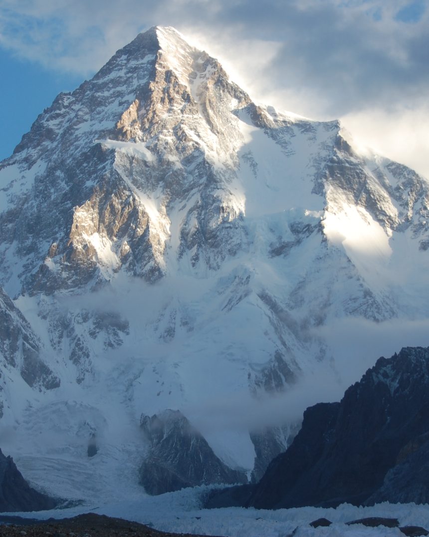
Karakoram K2 Base Camp & Baltoro Glacier Expedition
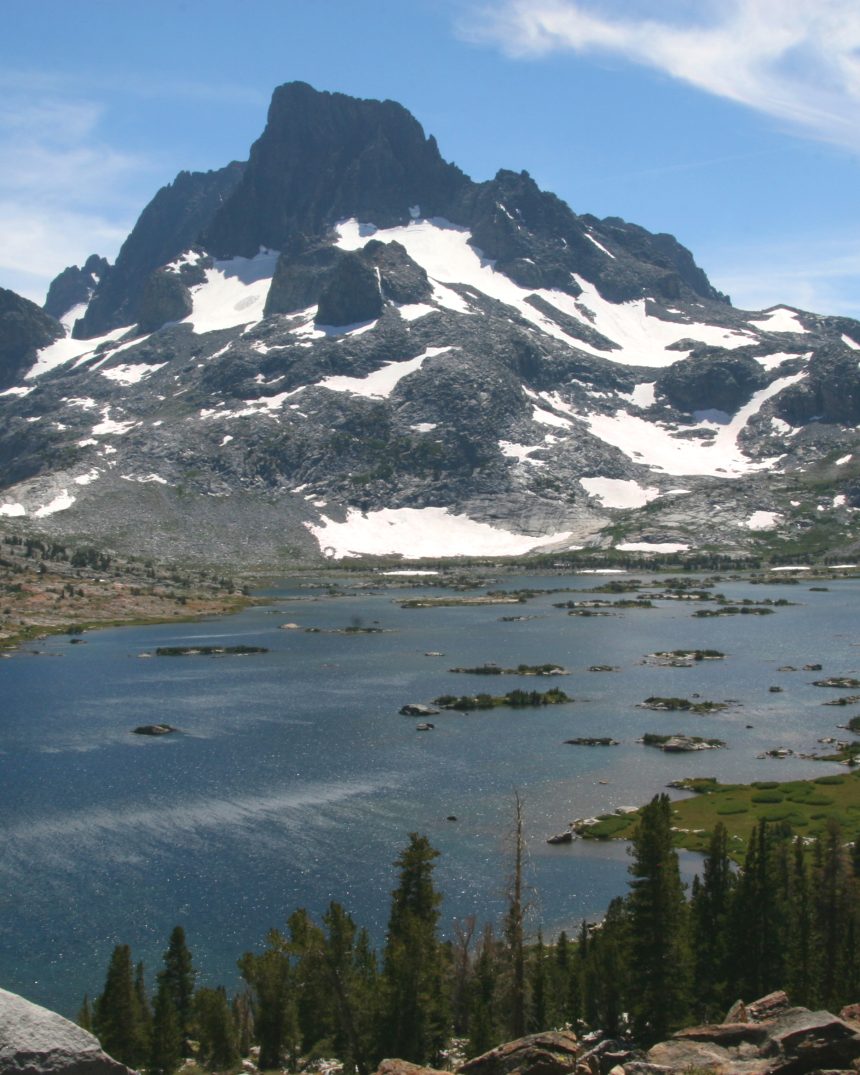
California Sierra Nevada John Muir Trail (JMT) & Mt. Whitney
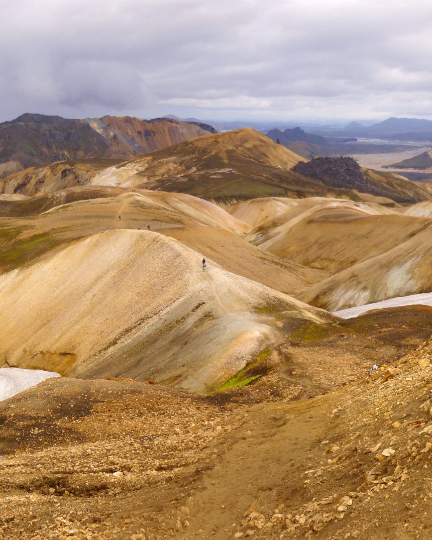
Iceland Highlands Laugavegur & Fimmvörðuháls Volcanic Trail
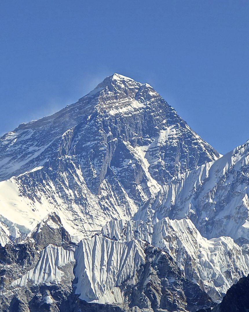
Nepal Everest Three Passes & Gokyo Ri Circuit
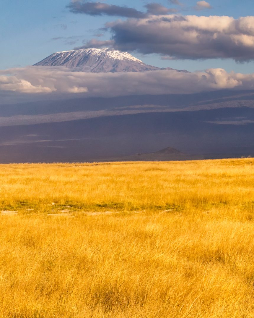
Mount Kilimanjaro Machame “Whiskey” Route
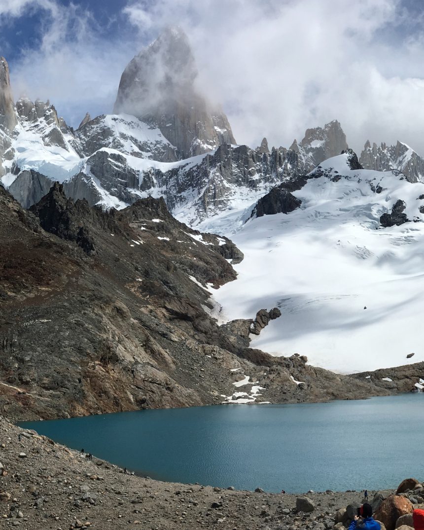
Patagonia Fitz Roy & Cerro Torre Grand Traverse
Field tools
Every calculator on this site runs a real, named formula — not a decorative number.
Elevation Profile Lab
Scrub any route's topography with a corrected Naismith's Rule trek-time estimate.
⛈Alpine Risk Radar
Real lapse-rate and wind-chill formulas, plus the full 5-tier avalanche danger scale.
🏗Pack Weight Calculator
Toggle a real ultralight loadout and see base weight vs. consumables.
📜Itinerary Builder
A printable, waypoint-by-waypoint roadbook for any trail in the directory.
A real shader, not a gradient
The animated field behind this page is a WebGL2 fragment shader running real 2D simplex noise through fractional Brownian motion with domain warping, then lit with a finite-difference surface normal for genuine specular highlights — the same family of technique used for procedural terrain and fluid look development, not a decorative CSS gradient.
Toggle the atmosphere button in the header to switch between two real, distinct colour palettes — Deep Wilderness (warm) and High-Altitude Exposure (glacier) — and the field recolours live.
What it computes
- 4-octave fractional Brownian motion with 2× domain warping
- Finite-difference surface normals for real specular lighting
- A capability-gated frame-rate watchdog demotes resolution on slow devices
- Fully paused under prefers-reduced-motion and on hidden tabs
From the outfitter
Ultralight field equipment, real cart and checkout.
Ready to plan a real expedition?
Send a trip request and our basecamp team will follow up within two business days.
Start an itinerary