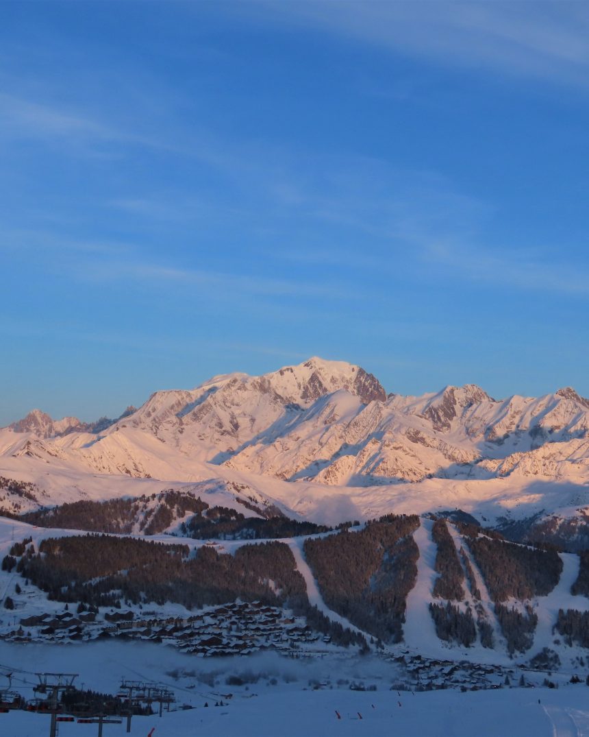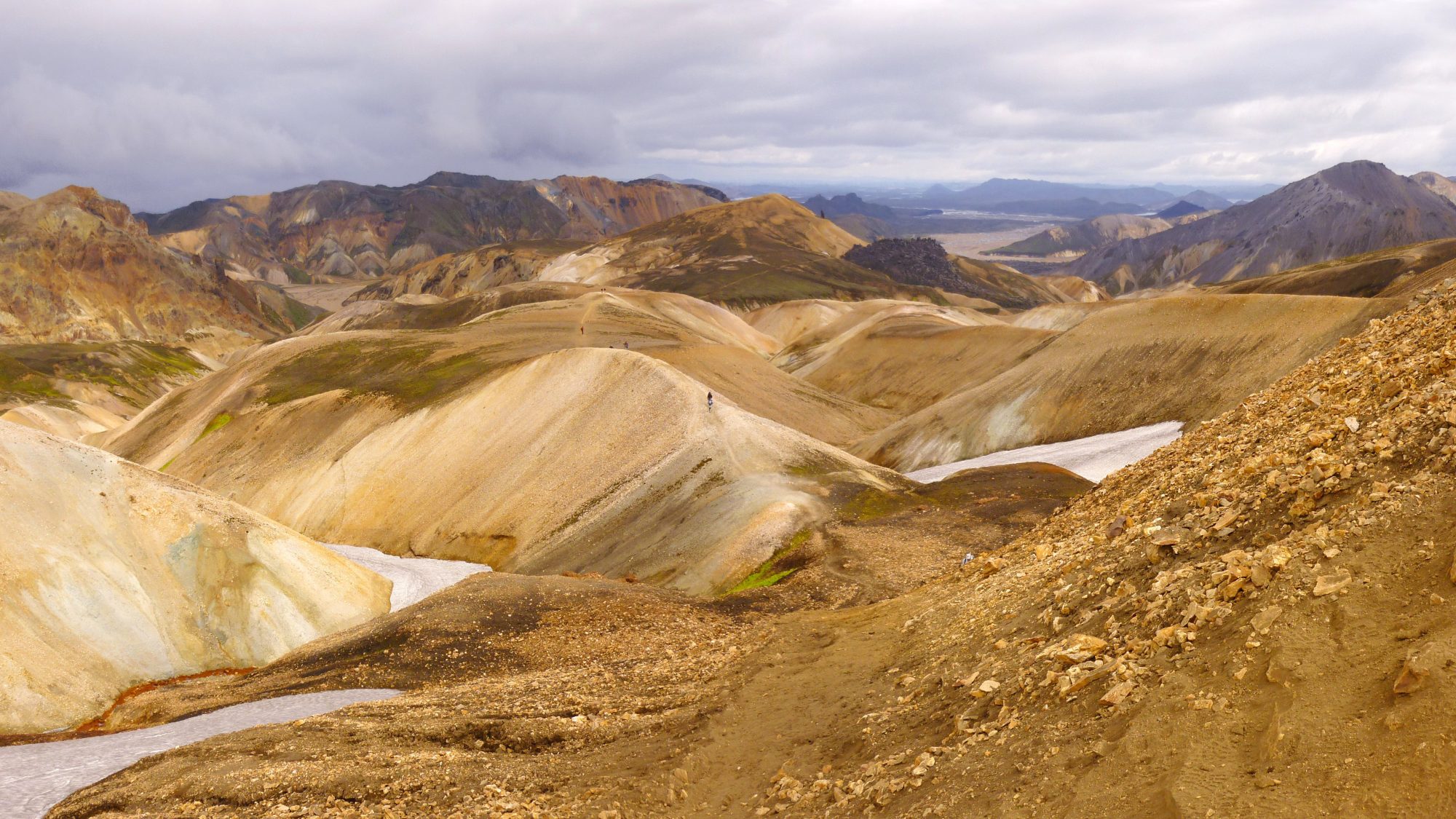
Fjallabak Nature Reserve, Southern Highlands
Iceland Highlands Laugavegur & Fimmvörðuháls Volcanic Trail
Traverse an otherworldly alien landscape forged by fire and ice: vibrant rhyolite peaks of Landmannalaugar, black volcanic ash plains, and the dramatic Eyjafjallajökull glacier pass.
- Region
- Fjallabak Nature Reserve, Southern Highlands
- Country
- Iceland
- Difficulty
- Moderate
- Terrain
- Volcanic Plateau
- Distance
- 78 km
- Elevation gain
- +2450 m
- Max altitude
- 1116 m
- Duration
- 4 - 6 Days
- Best months
- Jul, Aug, Sep
- Permit
- Ferðafélag Íslands (FÍ) Hut & Campsite Registration
One moment you are bathing in natural geothermal hot springs surrounded by emerald-mossy obsidian canyons; the next, navigating river crossings through freezing glacial rapids and walking past steaming volcanic fissures.
Cultural notes: Rooted in ancient Icelandic sagas of outlaws hiding in the remote interior highlands. Respect fragile moss ecosystems that take over 100 years to regenerate.
Wildlife notes: Arctic Foxes (Melrakki) in their brown summer coats, Ptarmigans camouflage-nesting in lava fields, and nesting Golden Plovers.
Key hazards
- Glacial river crossings with strong currents (Neoprene socks essential)
- Sudden horizontal highland sleet storms with zero visibility
- Toxic volcanic gas pockets near active solfataras
- Slippery volcanic tephra and steep snow bridges on Fimmvörðuháls
Essential gear
- Wading River-Crossing Shoes & Waterproof Socks
- Storm-Proof 3-Layer Waterproof-Breathable Hard-shell Jacket and Pants
- Rugged GPS Device with Offline Highlands Map & Compass
- Thermal Balaclava and Waterproof Mittens
- Suggested pack list:
- - Neoprene Wading Booties for Glacial Rivers (280g, mandatory)
- - 3-Layer Windproof Hard-shell Storm Parka (450g, mandatory)
- - 4-Season Wind-Tensioned Backpacking Tent (1650g, mandatory)
Waypoint-by-waypoint
| # | Waypoint | Dist. | Elev. | Notes |
|---|---|---|---|---|
| 1 | Landmannalaugar Geothermal Base (camp) | 0 km | 600 m | Natural hot springs, vibrant orange-green sulfuric hills. |
| 2 | Hrafntinnusker Obsidian Desert (camp) | 12 km | 1070 m | Fog-shrouded high plateau. Coldest campsite on trail with frequent summer snow. |
| 3 | Álftavatn (Swan Lake) (camp) | 24 km | 530 m | Steep descent into lush green valley; first major unbridged river ford. |
| 4 | Þórsmörk (Valley of Thor) (camp) | 54 km | 200 m | Sheltered oasis between three glaciers: Eyjafjallajökull, Mýrdalsjökull, Tindfjallajökull. |
| 5 | Skógafoss Waterfall Finish (camp) | 78 km | 60 m | Passes 26 roaring waterfalls along the Skógá river canyon to the Atlantic coast. |