California Sierra Nevada John Muir Trail (JMT) & Mt. Whitney
America’s most celebrated backcountry wilderness trail traversing the pristine spine of California’s High Sierra through Yosemite, Ansel Adams, Kings Canyon, and Sequoia National Parks.
- Region
- Sierra Nevada, High Sierra Wilderness
- Country
- United States
- Difficulty
- Strenuous
- Terrain
- Alpine Ridge
- Distance
- 340 km
- Elevation gain
- +14200 m
- Max altitude
- 4421 m
- Duration
- 18 - 22 Days
- Best months
- Jul, Aug, Sep
- Permit
- Yosemite Wilderness Lottery & Mt. Whitney Inyo National Forest Permit
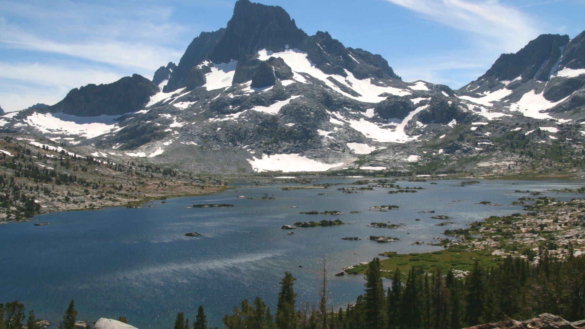
Crossing six high mountain passes over 3,300m (Donohue, Muir, Mather, Pinchot, Glen, Forester) and concluding with an epic pre-dawn ascent of Mount Whitney (4,421m). Enjoy crystal-clear alpine lakes, golden trout streams, and polished granite cathedrals.
Cultural notes: Named after wilderness preservation pioneer and Sierra Club founder John Muir. Indigenous Paiute and Western Mono tribes used these high mountain passes as trade corridors for thousands of years.
Wildlife notes: California Black Bears (certified bear canisters mandatory), Sierra Nevada Bighorn Sheep, Yellow-bellied Marmots, and Golden Eagles.
Key hazards
- Bear encounters requiring strict food canister hygiene
- Exposed electrical thunderstorms on high granite passes (Forester Pass 4,009m)
- High-altitude river crossings in early summer snowmelt (Evolution Creek)
Essential gear
- IGBC-Certified Bear-Resistant Food Canister
- Ultralight 0.1 Micron Squeeze Water Filter
- Wide-Brimmed Sun Hat and High-UV Sun Hoody
- Lightweight Puffy Down Jacket for Sub-Zero High Pass Camps
- Suggested pack list:
- - IGBC-Certified Bear-Resistant Food Canister (1150g, mandatory)
- - Halcyon Ridge Ultralight 1P Composite-Fabric Tent (620g, mandatory)
- - Trueflame Squeeze-Type Water Filter (65g, mandatory)
- - Northlatch Compact Satellite Messenger (100g, mandatory)
Waypoint-by-waypoint
| # | Waypoint | Dist. | Elev. | Notes |
|---|---|---|---|---|
| 1 | Happy Isles, Yosemite Valley (camp) | 0 km | 1230 m | Official northern trailhead of the John Muir Trail beside Vernal Falls. |
| 2 | Tuolumne Meadows & Cathedral Lakes (camp) | 37 km | 2620 m | Resupply hub, scenic views of Cathedral Peak and pristine alpine tarns. |
| 3 | Muir Pass & Stone Hut (3,645m) (camp) | 195 km | 3645 m | Historic stone shelter built by the Sierra Club in 1930; dramatic alpine cirques. |
| 4 | Forester Pass (4,009m High Point) | 285 km | 4009 m | Boundary between Kings Canyon and Sequoia National Parks. Exhilarating drop-offs. |
| 5 | Mount Whitney Summit (4,421m) | 340 km | 4421 m | The highest summit in the Lower 48 States. Breathtaking sunrise above the Owens Valley. |