Tasmania Overland Track: Cradle Mountain to Lake St Clair
Tasmania’s premier alpine crossing, running the length of the Cradle Mountain-Lake St Clair World Heritage Area from the dolerite spires of Cradle Mountain south across buttongrass moorland and cool temperate rainforest to a ferry crossing of Lake St Clair, Australia’s deepest natural lake.
- Region
- Cradle Mountain-Lake St Clair National Park
- Country
- Australia
- Difficulty
- Strenuous
- Terrain
- Alpine Ridge
- Distance
- 65 km
- Elevation gain
- +2450 m
- Max altitude
- 1250 m
- Duration
- 6 Days
- Best months
- Nov, Dec, Jan, Feb, Mar, Apr
- Permit
- Tasmania Parks & Wildlife Service Overland Track booking (compulsory north-to-south travel 1 Oct - 31 May)
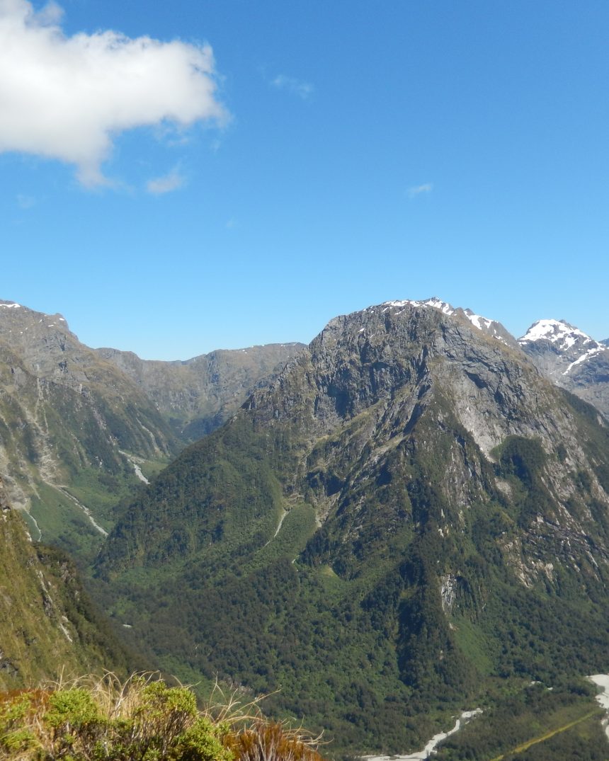
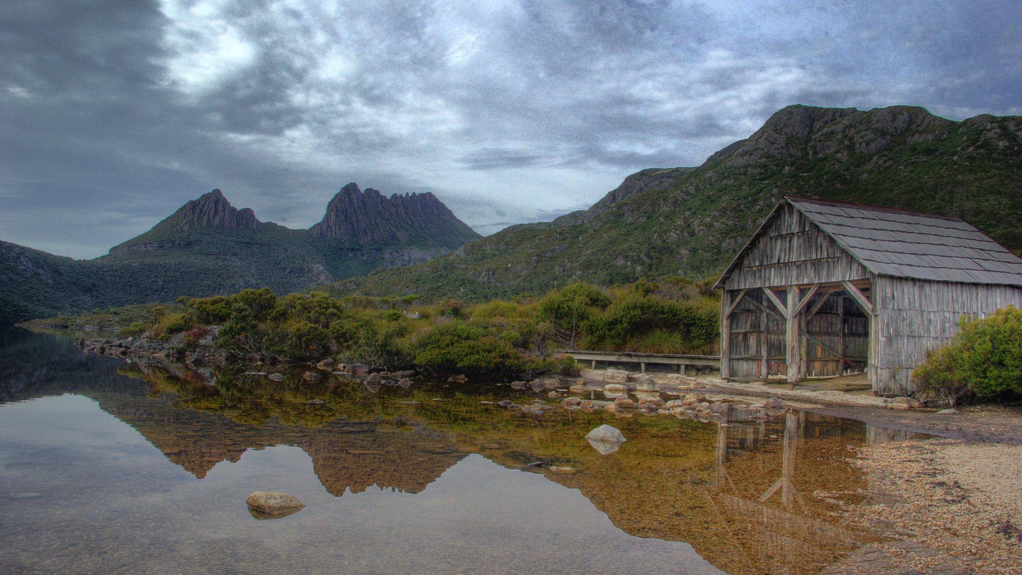
The track opens beneath the jagged dolerite battlements of Cradle Mountain and Barn Bluff before dropping into a landscape that shifts by the hour: exposed alpine plateau one moment, ancient myrtle-beech rainforest the next, with weather that locals describe as capable of delivering four seasons in a single afternoon regardless of the calendar month. A worthwhile side trip climbs Mount Ossa, the highest point in Tasmania, before the track finishes with a walk or ferry ride down Lake St Clair.
Cultural notes: The track crosses the traditional Country of the palawa (Tasmanian Aboriginal) people, and the dolerite plateau itself was shaped by Gondwanan-era volcanic intrusion and later glacial carving. Public huts along the route are shared, unstaffed shelters; camping is also permitted at designated sites.
Wildlife notes: Tasmanian pademelons and wombats are common around the huts at dusk, echidnas are frequently seen on the track itself, and currawongs will readily raid an unattended pack. Platypus are occasionally spotted in the quieter tarns.
Key hazards
- Rapid, unpredictable weather changes -- snow is possible on the plateau even in summer
- Exposed alpine sections above the treeline prone to sudden whiteout
- Leeches in the wetter rainforest sections after rain
- Swollen creek crossings following heavy rainfall
Essential gear
- Stormvane fully waterproof-breathable rain jacket and pants
- Duskdown 0°C-rated three-season sleeping bag
- Halcyon Ridge lightweight hiking tent (huts fill quickly in peak season)
- Trueflame compact stove and fuel (huts have no cooking facilities)
- Northlatch offline GPS or mapping app plus a paper map -- mobile coverage is unreliable
- Gaiters for buttongrass moorland mud
Waypoint-by-waypoint
| # | Waypoint | Dist. | Elev. | Notes |
|---|---|---|---|---|
| 1 | Ronny Creek Trailhead | 0 km | 930 m | Northern trailhead beneath Cradle Mountain and Dove Lake. |
| 2 | Waterfall Valley Hut (camp) | 10 km | 1080 m | First night hut; Barn Bluff dominates the skyline to the west. |
| 3 | Windermere Hut (camp) | 17 km | 920 m | Sheltered lakeside hut, a gentler day after the Waterfall Valley crossing. |
| 4 | New Pelion Hut (camp) | 34 km | 830 m | Base for the optional side-trip summit of Mount Ossa, Tasmania's highest peak (1,617m). |
| 5 | Du Cane Gap / Windy Ridge Hut (camp) | 54 km | 850 m | Final hut before Lake St Clair; myrtle-beech rainforest closes in around the track. |
| 6 | Narcissus Hut & Lake St Clair (camp) | 65 km | 737 m | Southern terminus; finish on foot along the lake or by ferry to Cynthia Bay, Australia's deepest lake. |