Nepal Everest Three Passes & Gokyo Ri Circuit
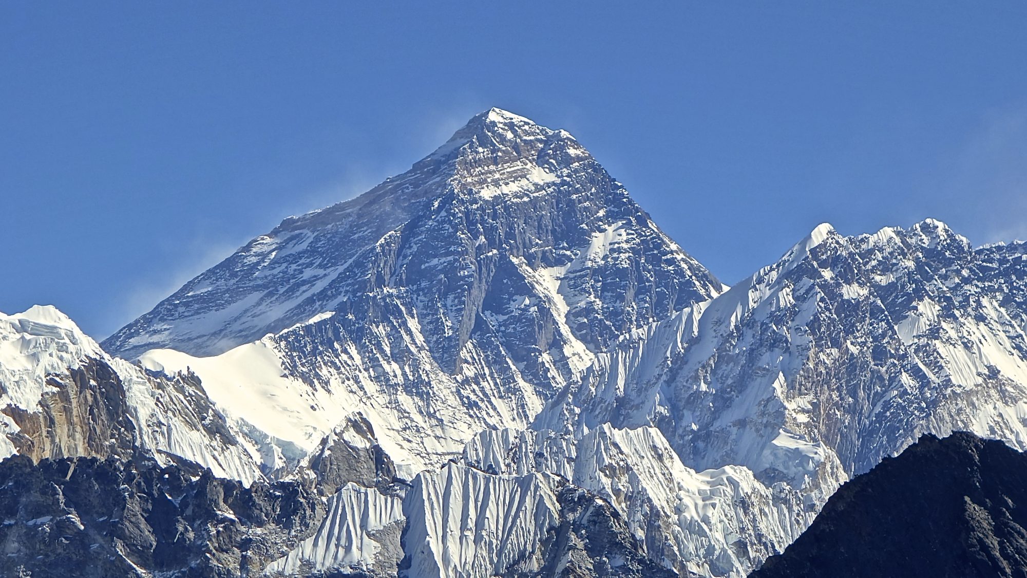
The ultimate Himalayan trekking challenge crossing three 5,300m+ glaciated passes (Renjo La 5,360m, Cho La 5,420m, Kongma La 5,535m) with views of Everest, Lhotse, Makalu, and Cho Oyu.
- Region
- Khumbu, Sagarmatha National Park
- Country
- Nepal
- Difficulty
- Alpine Technical
- Terrain
- Alpine Ridge
- Distance
- 165 km
- Elevation gain
- +8900 m
- Max altitude
- 5535 m
- Duration
- 16 - 20 Days
- Best months
- Mar, Apr, May, Oct, Nov
- Permit
- Sagarmatha National Park Entry Permit & Khumbu Pasang Lhamu Card
Leaving the crowded standard Everest Base Camp trail, you enter high alpine solitude. Traverse the Ngozumpa Glacier—the longest in the Himalayas—and witness the sun rising over Everest from the summit of Gokyo Ri.
Cultural notes: Immerse in Sherpa Buddhist culture. Spin prayer wheels clockwise, pass mani stones on the left, and visit Tengboche Monastery to receive high-altitude blessings from the Rinpoche.
Wildlife notes: Himalayan Tahr clambering sheer rock faces, Musk Deer in juniper forests, Himalayan Monal (Danphe – Nepal’s national bird), and soaring Lammergeier vultures.
Key hazards
- Acute Mountain Sickness (AMS) & Altitude Sickness above 5,000m
- Black ice and steep crevasse moraines on Cho La Glacier
- Rockfall zones in boulder fields on the ascent to Kongma La
- Sub-zero nights reaching -20°C in tea houses at Gorak Shep
Essential gear
- -20°C Down Sleeping Bag
- Microspikes / 10-Point Crampons for Cho La Pass
- Pulse Oximeter & Altitude Acclimatization Schedule
- UV Category 4 Glacier Glasses & Zinc Sunblock
- Suggested pack list:
- - -20°C Expedition Goose Down Sleeping Bag (1250g, mandatory)
- - Stainless Steel High-Traction Microspikes (340g, mandatory)
- - O2 Pulse Oximeter & Acetazolamide Kit (90g, mandatory)
Waypoint-by-waypoint
| # | Waypoint | Dist. | Elev. | Notes |
|---|---|---|---|---|
| 1 | Lukla Airstrip & Phakding (camp) | 0 km | 2840 m | Thrilling flight landing on the sloping mountain airstrip of Lukla. |
| 2 | Namche Bazaar (Sherpa Capital) (camp) | 18.5 km | 3440 m | Crucial 2-day acclimatization hub with bakeries, gear shops, and monasteries. |
| 3 | Gokyo Lakes & Gokyo Ri (5,357m) (camp) | 65 km | 4790 m | Six sacred glacial lakes reflecting Cho Oyu; 360° panorama of four 8,000m peaks. |
| 4 | Cho La Glaciated Pass (5,420m) | 85 km | 5420 m | Requires microspikes across the snowfield; connects Gokyo to the Everest valley. |
| 5 | Kala Patthar & Everest Base Camp (camp) | 110 km | 5545 m | Highest viewpoint of Mount Everest summit pyramid and Khumbu Icefall. |